Picture morning coffee on a quiet deck while the tide rolls through the marsh and your skiff waits at the dock. If you are weighing Hampstead or Topsail for that soundfront lifestyle, you want clear guidance on what “waterfront” really means, how access works, and the risks to plan for. In this overview, you will learn the property types you will see, boat access options, commute realities, flood and insurance basics, and the key checks to run before you write an offer. Let’s dive in.
Hampstead and Topsail at a glance
Hampstead sits on the mainland in Pender County along the Intracoastal Waterway, often called the gateway to Topsail Island. If you are new to the area, start with a quick look at the local layout and amenities around Hampstead’s core corridors and waterfront pockets on the community overview.
Daily connections to Wilmington are straightforward. Under normal conditions, you can expect roughly 20 to 30 minutes for the 15 to 20 mile trip along US‑17, with time varying by exact start and end points and time of day. For a baseline, review a typical Hampstead to Wilmington drive time. Plan for seasonal slowdowns on summer and holiday weekends and during bridge openings or storm events.
Topsail Island is served by the Surf City bridge. Soundside Park in Surf City anchors community events, a fishing pier, and public water access next to the bridge. You can preview the setting and amenities at Soundside Park.
What “soundfront” means here
Water-oriented properties come in several forms, and the differences matter for price, access, and maintenance:
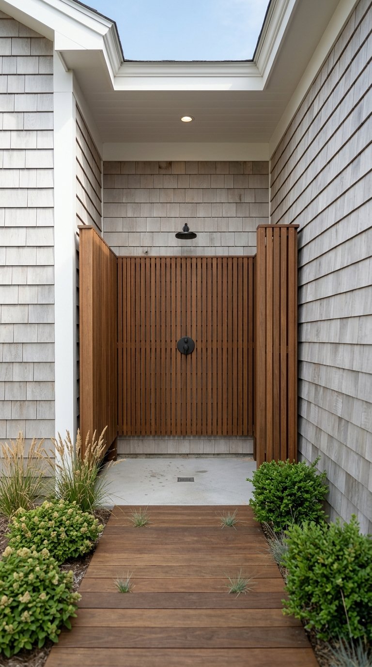
- Soundfront or ICW-front homes. These are often elevated single-family houses, sometimes with private docks or deeded boat access. They trade at a premium over inland lots.
- Canal or creek-front lots. Many have small-community docks or shared ramps. Draft and vessel size can be limited.
- Near-sound view lots. Larger parcels with marsh or distant-water views but no boat access. These can offer space and privacy at a lower price than direct frontage.
- Island product mix. On Topsail Island, you will find oceanfront homes, soundside cottages, and condos. Island prices often run higher than mainland Hampstead for similar size, with oceanfront at the top of the range.
The key takeaway is that “waterfront” is not one category. Docks, deeded ramps, water depth, and even view corridors shape both value and lifestyle. Always price a specific street with a current CMA and verify access rights during due diligence.
Price drivers and market shape
Public data snapshots in recent years show Pender County and Hampstead medians commonly in the mid to high $400Ks to low $500Ks, while island towns like Surf City and Topsail Beach often run higher than inland Hampstead. Street-level values swing widely based on frontage, dock rights, elevation, and new construction versus resale. Treat county medians as broad context and rely on an address-level CMA for any offer strategy.
Boat access options that fit your life
How you plan to get on the water is as important as the house itself. You will see three main paths:
- Public ramps. Hampstead’s Lewis Road ramp and Surf City’s Soundside Park ramp offer direct ICW access with parking and courtesy docks. Expect early lines on peak summer weekends. You can scan area ramp options through this public boat ramp guide and the Soundside Park details.
- Private marinas. Membership marinas like Harbour Village Marina in Hampstead provide slips, fuel, and services. Slip availability can be limited, so confirm waitlists and dues.
- Deeded or community access. Many mainland communities offer deeded ramps or shared docks. Always confirm recorded easements, HOA rules, and vessel-size limits in writing.
If fishing is a priority, the Topsail Sound fishery supports popular inshore species throughout the year. Regulations evolve, so check the North Carolina Division of Marine Fisheries for current licenses and reporting rules before you head out.
Seasonal rhythms and daily life
From Memorial Day through Labor Day, Topsail Island fills with visitors. That brings more traffic across the bridge, busy ramps, and stronger short-term rental demand on the island. On the mainland, you keep more distance from the weekend flow while staying close to boat access.
Island towns may have seasonal lighting guidelines to protect sea turtles during nesting months. If you buy on the island, confirm current exterior lighting rules with the town before changing fixtures. The Atlantic hurricane season runs June 1 through November 30. Plan for preparedness, evacuation routes, and appropriate insurance. For context on seasonal patterns, review NOAA’s hurricane climatology.
Flood, elevation, and insurance essentials
Waterfront buyers should treat flood and wind as core parts of the purchase analysis. The good news is that much of the needed data is public and can be verified early.
How flood zones work
- FEMA Flood Insurance Rate Maps identify Special Flood Hazard Areas. In Pender County, you will also see the Limit of Moderate Wave Action, or LiMWA, mapped inland of some V and AE zones. LiMWA signals where moderate waves may occur and can affect building standards. You can read the county’s guidance on zones, permits, and map lookups on the Pender County flood hazard page.
- Coastal FIRMs classify zones such as VE, AE, and X. These labels help with permitting and disclosures, but premiums are not determined by zone alone under today’s NFIP rules.
What Risk Rating 2.0 means for you
- FEMA’s current pricing approach, called Risk Rating 2.0, uses property-specific factors. Premiums depend on distance to water, elevation, construction, and replacement cost. Neighbors on the same street can see very different quotes. Learn the basics on FEMA’s Risk Rating 2.0 page.
- During due diligence, ask for any prior elevation certificate and current NFIP policy information. Then obtain quotes for the exact address and structure. Also review the FEMA coastal mapping overview to understand how map layers inform permitting and risk.
Action steps
- Run a parcel-level flood map check early.
- Order or request an elevation certificate if the seller does not have one.
- Get two or three flood and wind quotes tied to the exact property.
- Confirm whether any LOMA or prior flood claims exist.
Water, sewer, and permits
Many Hampstead properties use a mix of county water and on-site wastewater. If you are considering a soundside or larger mainland lot, confirm whether the property connects to municipal water and sewer or relies on a well and septic system. For septic, Pender County’s Environmental Health team handles soil evaluations and permitting. Review the county’s On-Site Wastewater Program and request any existing Improvement Permit, construction documents, and recent inspection records.
Commute and service trade-offs
Choosing between Hampstead and closer-in Wilmington comes down to daily rhythm. Many buyers trade a few more minutes on US‑17 for a larger lot, more privacy, and easier boat access. If your workday is anchored in Wilmington, test your planned route during peak times and on summer weekends. A simple drive-time check gives you a baseline, but on-the-ground trials are best.
On the maintenance side, waterfront or near-water yards and docks require seasonal care. Factor in dock upkeep, shoreline stabilization where appropriate, and exterior maintenance tied to salt air.
Do this first — buyer checklist
- Verify flood status. Pull a parcel-level FEMA map and the Pender County flood layer, and request any elevation certificate or past flood claim documentation. Start at the county flood hazard page.
- Get insurance quotes. Obtain address-specific NFIP and private flood quotes and ask about wind coverage. Read about pricing inputs on FEMA’s Risk Rating 2.0.
- Confirm boat access. If a deeded ramp or dock is advertised, require recorded easements or HOA documents. For public access, review regional ramp options and call ahead about seasonal crowds.
- Check marina options. If you need a slip, ask about current availability, vessel size limits, and dues at marinas like Harbour Village Marina.
- Verify utilities. Determine whether the property has municipal water and sewer or an on-site system. For septic, consult Pender County’s On-Site Wastewater Program.
- Review permits and repairs. Ask for building permits and documentation for pilings, elevation work, or structural repairs tied to previous storms.
- Test your commute. Drive your route during your actual travel window and again on a peak summer weekend to understand the range.
- Plan for hurricane season. Review preparedness steps and evacuation routes and ensure your coverage aligns with coastal exposure. See NOAA hurricane season context.
Is Hampstead or Topsail right for you?
If you value larger lots, a quieter mainland setting, and convenient access to the ICW, Hampstead often delivers that balance. You can launch locally, keep a boat in a private slip or at a marina, and still reach Wilmington services within typical commuter times.
If you prefer being on the island, Topsail offers that walk-to-beach and vacation-town feel, with the tradeoff of higher prices in many segments and busier summer months. Either path can be a win when you match the house, access, and risk profile to your goals and budget.
If you want a tailored search that fits how you live, reach out. As a boutique, high-touch advisor, Happy Clark will help you compare street-level options, coordinate flood and insurance due diligence, and position your offer with confidence.
FAQs
What should I know about Hampstead to Wilmington commute times in summer?
- Plan for a baseline of about 20 to 30 minutes in normal conditions and leave extra time on summer and holiday weekends, during bridge openings, or during storm events. A simple check with a drive-time tool plus a real-world test at your travel times works best.
How do flood zones and LiMWA affect a Hampstead waterfront purchase?
- Flood zones and the Limit of Moderate Wave Action influence permitting and construction standards. Review parcel-level maps, request any elevation certificate, and consult the Pender County flood resource for requirements before you finalize pricing and timelines.
What does FEMA’s Risk Rating 2.0 mean for my flood insurance cost?
- Premiums now reflect property-specific factors like elevation, distance to water, and replacement cost. Two neighboring homes can see different quotes, so always obtain address-specific pricing. You can review the basics on FEMA’s Risk Rating 2.0.
Where can I launch a boat near Surf City and Hampstead?
- Popular public options include Surf City’s Soundside Park ramp on the island and the large public ramp on Lewis Road in Hampstead, with more listed in this regional ramp guide. Expect early lines on peak weekends.
How do I verify a deeded dock or boat ramp when buying?
- Ask for recorded easements, plats, and HOA documents that specifically describe dock or ramp rights and any vessel limits. For marina slips, confirm membership rules, waitlists, and dues with the operator, such as Harbour Village Marina.
What should I check for septic on a near-water lot in Pender County?
- Confirm whether the property has municipal hookups or an on-site system. For septic, request the Improvement Permit and recent inspection records and contact the county’s On-Site Wastewater Program for site suitability and permit verification.